Projects
This page (under development) summarizes the highlights of my ongoing and past projects while working as a Graduate Research Assistant at the University of Arizona’s Center for Applied Transportation Sciences.
📅 Last updated: March 14, 2024
Wireless Traffic Communication
Project with the City of Phoenix Street Transportation Department (5/2023 - Present)
- Scope: evaluating effectiveness of wireless communication devices to supplement fiber optics at nodes with gaps/breaks in communication
- Tasks
- reviewed technical specification and protocols of nine communication devices suggested by the City of Phoenix team; coordinated communication with corresponding vendors for price quotes
- formulated an experimental design for quantitatively assessing communication and cost effectiveness of different devices
- coordinate installation of selected devices at test sites; collect and analyze before-after data for evaluating communication performance (ongoing)
- Tools used: SQL, Python for data processing, R for data visualization, GitHub
Evaluating Traffic Counts from Existing Sensors
NCHRP Project Collaboration with the Texas Transportation Institute (5/2023 - Present)
- Scope: leveraging existing traffic signals to obtain quality traffic counts and enhance transportation monitoring programs
- Tasks
- collaborated with the Texas Transportation Institute (TTI) team to determine the feasibility of using existing or enhanced traffic equipment to collect, store, and disseminate data for traffic monitoring purposes
- coordinated with stakeholders and transportation agencies in Arizona to obtain traffic count data from existing traffic sensors
- prepare User Guide on effective practices for obtaining and integrating traffic counts from existing sensors (ongoing)
Dynamic Traffic Assignment (DTA) Modeling
Project with the Pima County Department of Transportation (3/2022 - 5/2023)

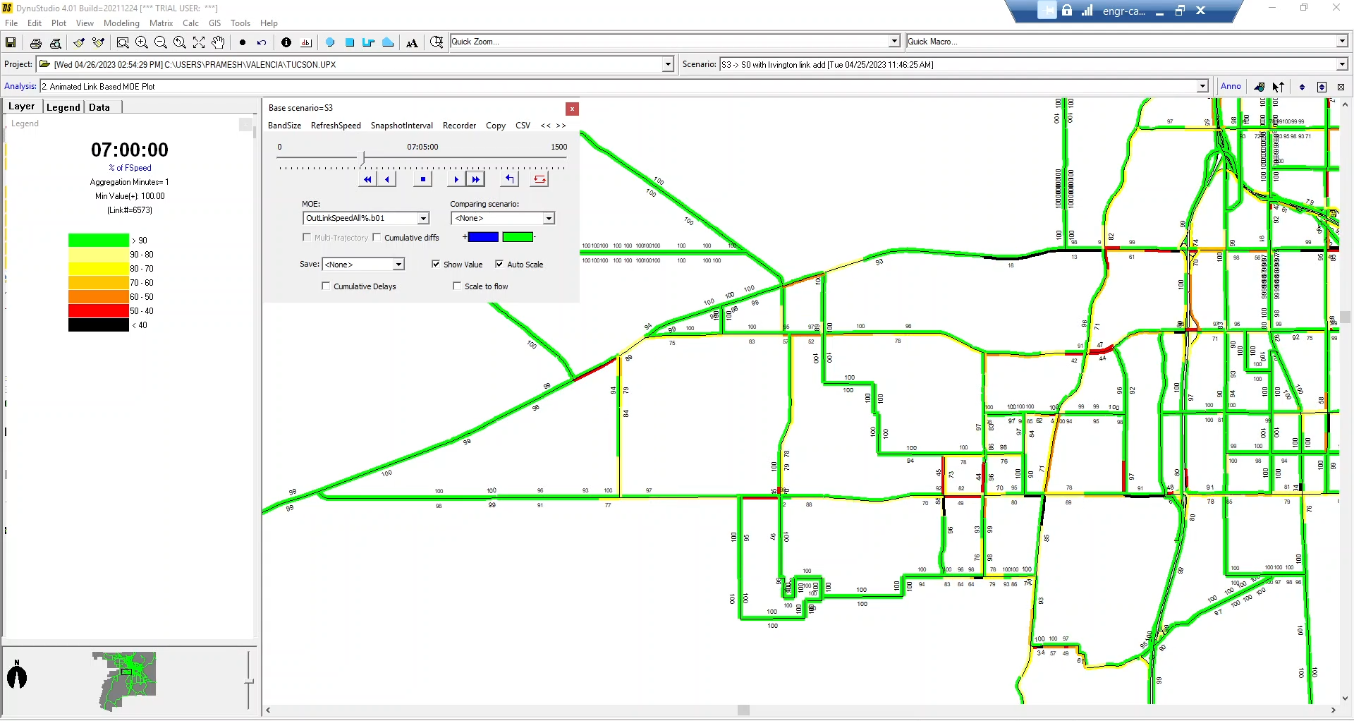
DTA modeling of Valencia corridor study area (speed analysis for base model)
- Scope: DTA modeling of Valencia corridor using DynusT
- Tasks
- updated DynusT base model for the Pima County region with 2021 demand data for cars and trucks collected from StreetLight Insight platform
- calibrated and validated the base model through iterative simulation
- performed detailed analysis and cross-comparison of the base model and three scenarios for different measures of effectiveness
- Tools used: DynusT for DTA simulation, Python for data processing, R for data visualization, GitHub
- Publication: Y.-J. Wu and P. Pudasaini, “Dynamic traffic assignment modeling of Valencia Corridor,” Pima County Department of Transportation, Tech. Rep., May 2023.
Traffic Signal Retiming
Project with the City of Phoenix Street Transportation Department (9/2021 - 12/2022)

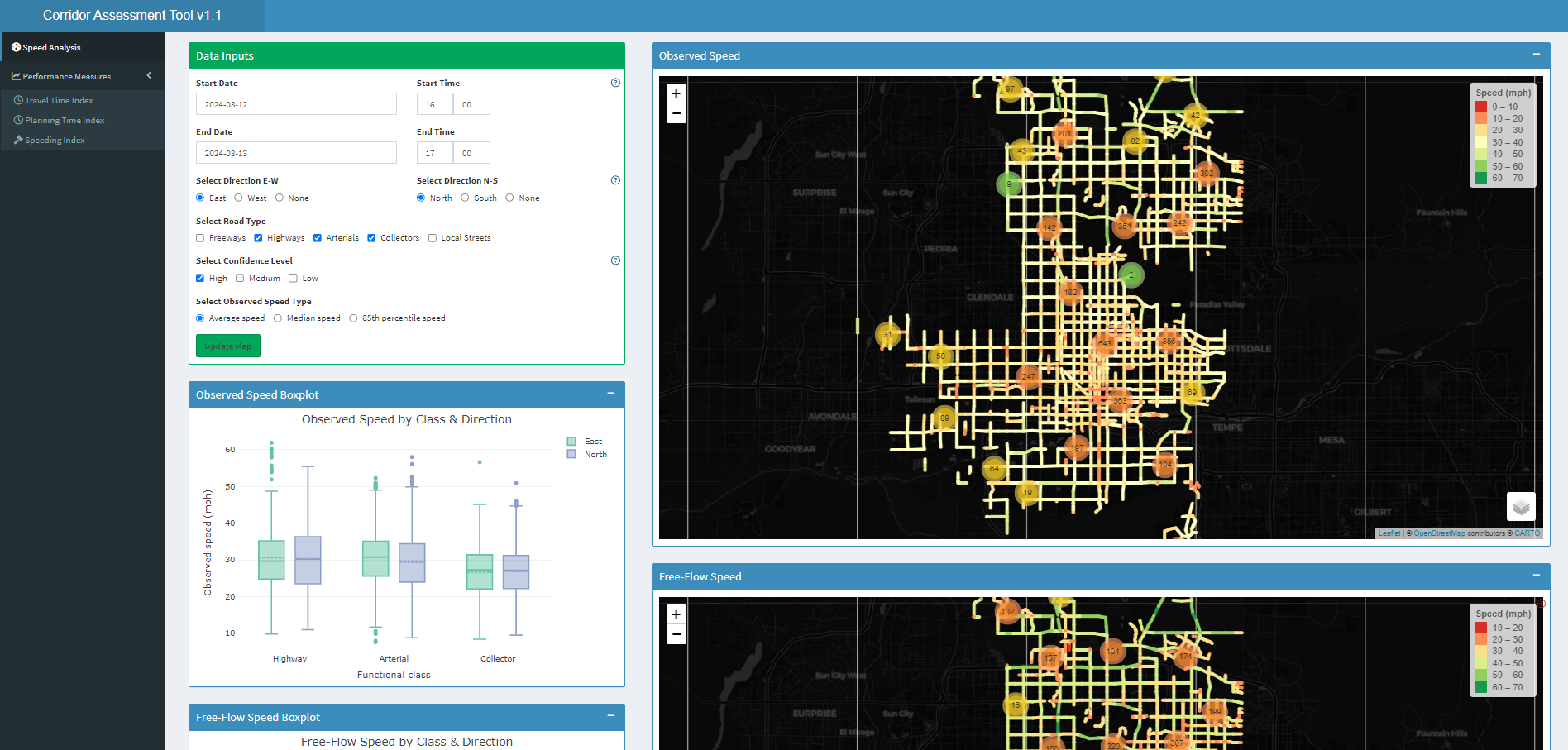
Corridor Assessment Tool developed for the City of Phoenix

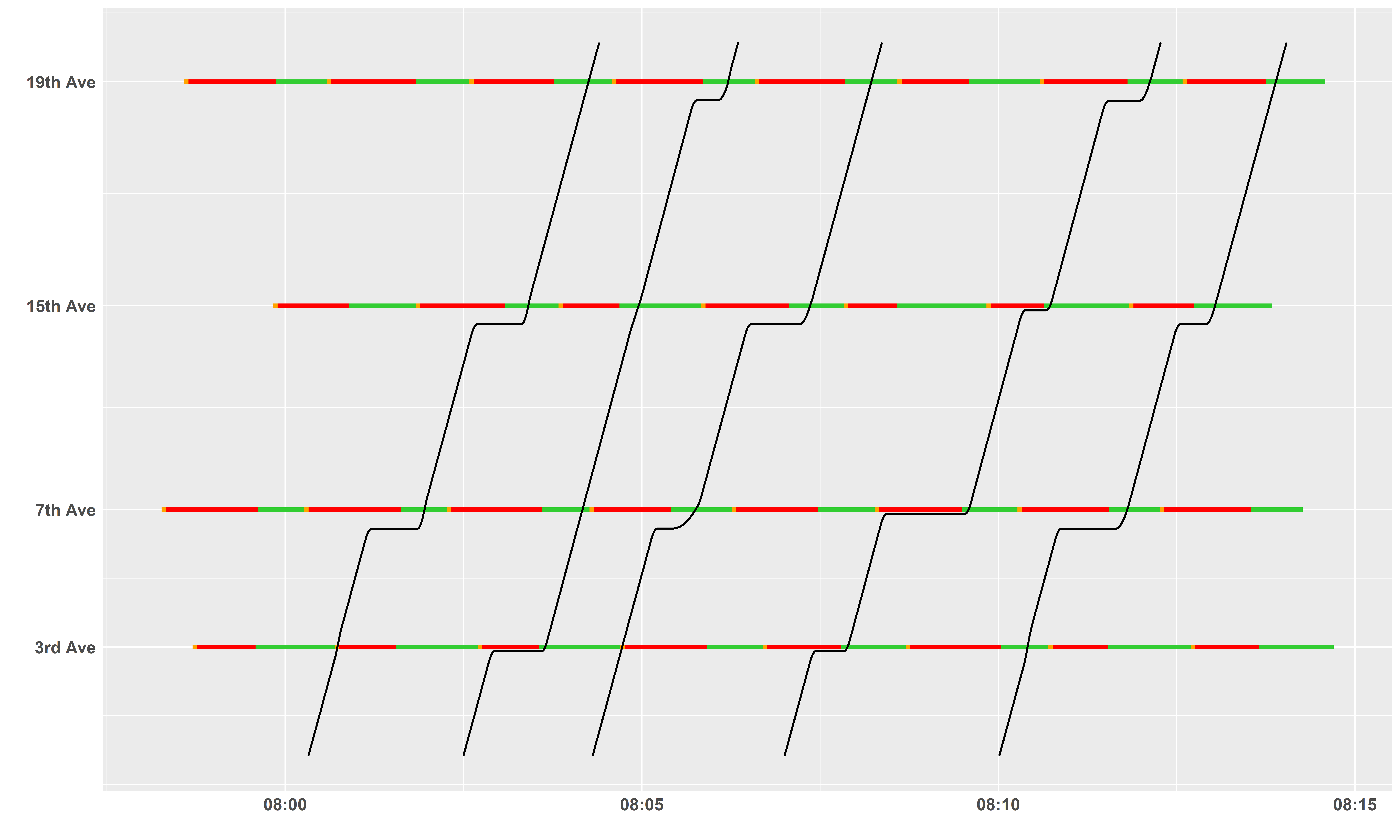
Time-space diagram for virtual vehicle trajectories along four intersections
- Scope: statistical comparison of traffic data for traffic signal retiming
- Tasks
- conducted a comprehensive literature review to identify measures for corridor mobility analysis and network-wide performance evaluation using multiple traffic data sources
- programmed and deployed scripts using R Shiny, SQL, and Docker to develop a network-wide mobility assessment tool for assessing corridor-level traffic operations and safety metrics
- proposed a methodology to create time-space diagrams along consecutive intersections using high-resolution event data from signal controllers and detectors
- Tools used: SQL, R for data analysis and visualization, Shiny and Docker for dashboard deployment, GitHub
- Publication: Y.-J. Wu, A. Karimpour, and P. Pudasaini, “Statistical comparisons of traffic data for traffic signal retiming,” City of Phoenix Street Transportation Department, Tech. Rep., December 2022.
